As I write this the Binna Burra section of the Lamington National Park is burning. And, sadly, the 85 year old Binna Burra Mountain Lodge, as well as a number of homes, have burned to the ground. I have lived on the Gold Coast for 40+ years and walked the Binna Burra trails for 30 years - this fire event is unprecedented.
Environmental experts are currently discussing the impacts of the fire. Part of the area is Eucalypt forest and can tolerate fire, and will bounce back. However a large area of pristine rainforest has been affected. The fact that this area was dry enough to burn (check out some of the photos below) is an indication of how harsh our current drought is. The ‘experts’ don’t know how the fire is going to affect the rainforest and can’t comment on the long-term health of that particular area.
Early in winter this year I walked the 13km Lower Bellbird Circuit and Lower Ballunjui Falls track, back up to the Binna Burra Lodge. There are a number of spectacular creek crossings and waterfalls on this walk…however don’t go looking for photos of them in this blog post. Every creek was dry. Bone dry. As usual I used the Lamington National History Associations track guide for this walk, as I do for all other walks in Lamington National Park. At point 13 in of the guide in regards to the parks biggest falls, Ballunjui Falls, it mentions “There are some old burnt Eucalypt trunks along this section of the track. It is hard to imagine it was ever dry enough here for a bushfire”. Well, on this day it was bone dry. There wasn’t even a pool of water in sight! Just the ingredients for the perfect fire-storm that we are seeing now.
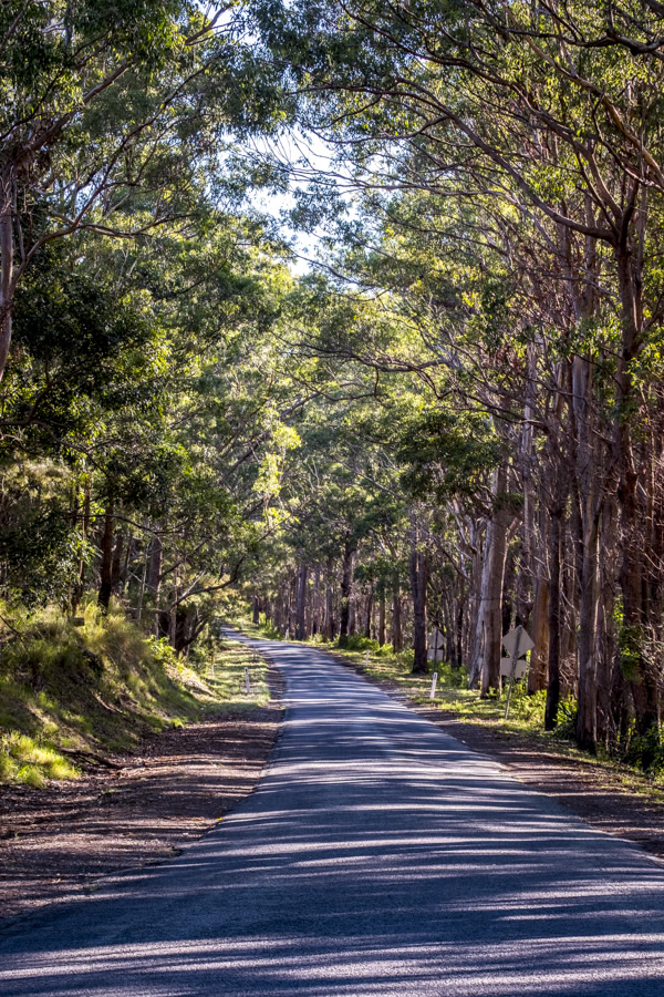
The starting point - park at the Information Centre and head back downhill about 1km to the launch point into Lower Bellbird Circuit. At the time of writing this area is completely engulfed in fire and the road is closed.
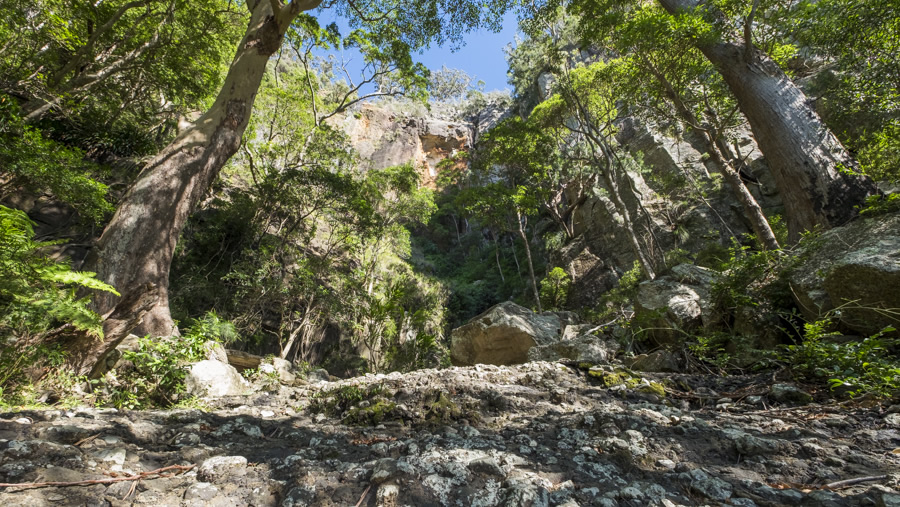
Bellbird Falls and Bellbird Creek, minus the water. It had been dry for a while. There was lichen growing where water should be flowing.
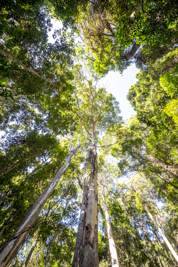
Tall Timber - the last of the Eucalypt forest as you head downhill towards the temperate rainforest.
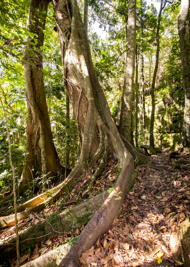
This strangler fig marks the transition of climates. The rainforest canopy starts to develop, small ferns start to proliferate and the air cools. The hard dry ground of the Eucalypt forest continues however.
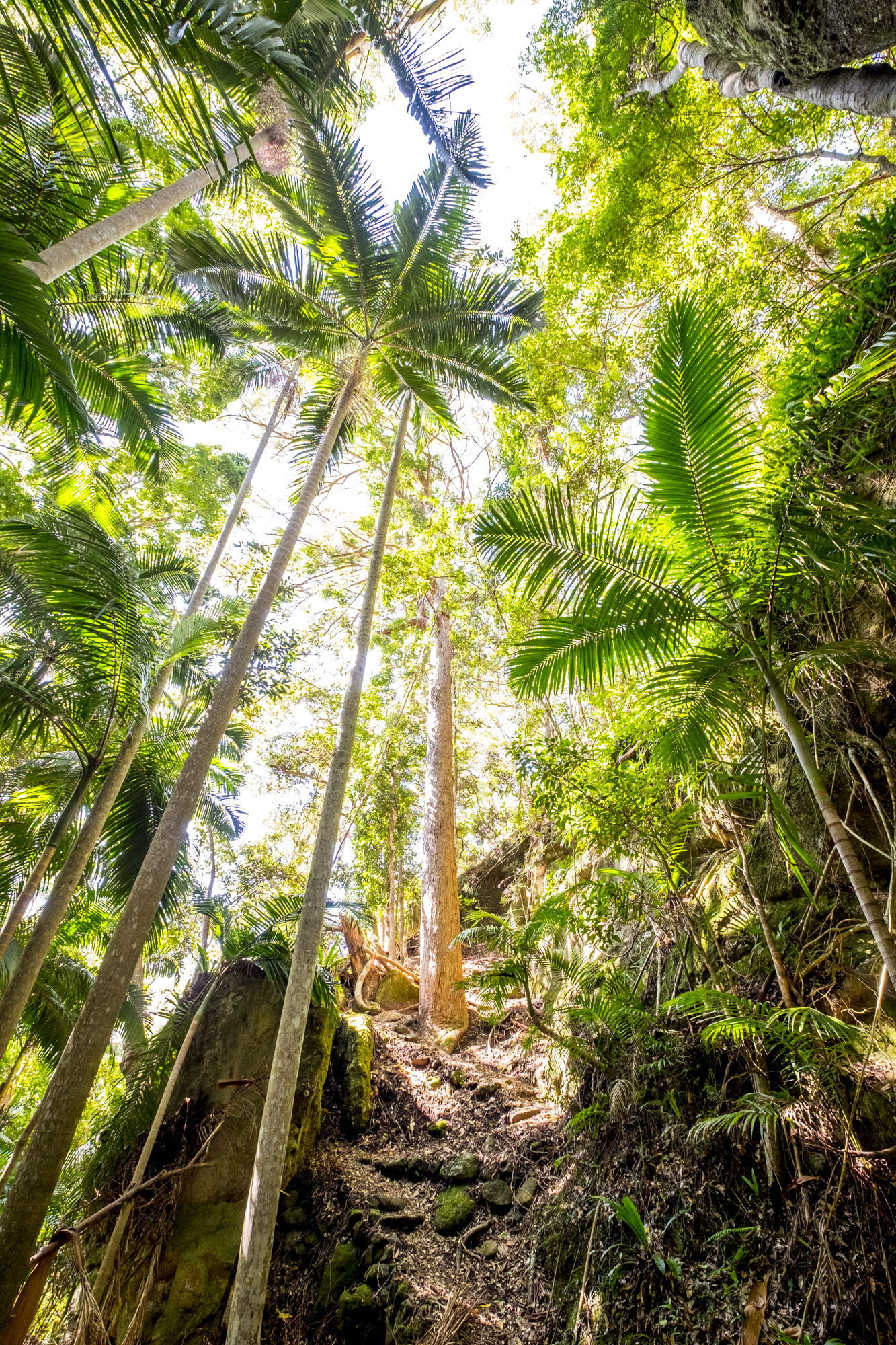
A bit of a scrambling climb up....
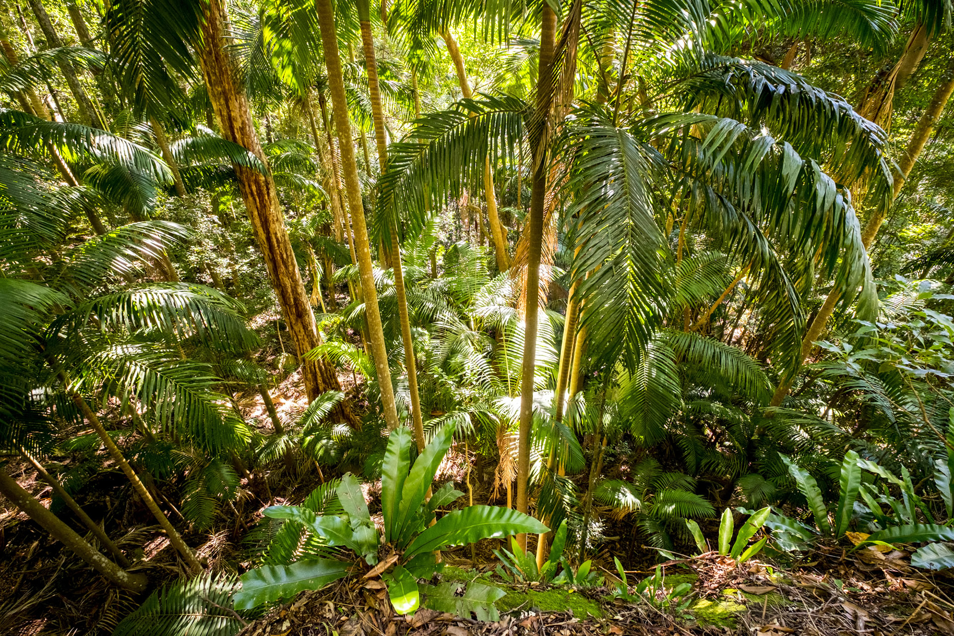
...affords a beautiful view over the sub-tropical rainforest.
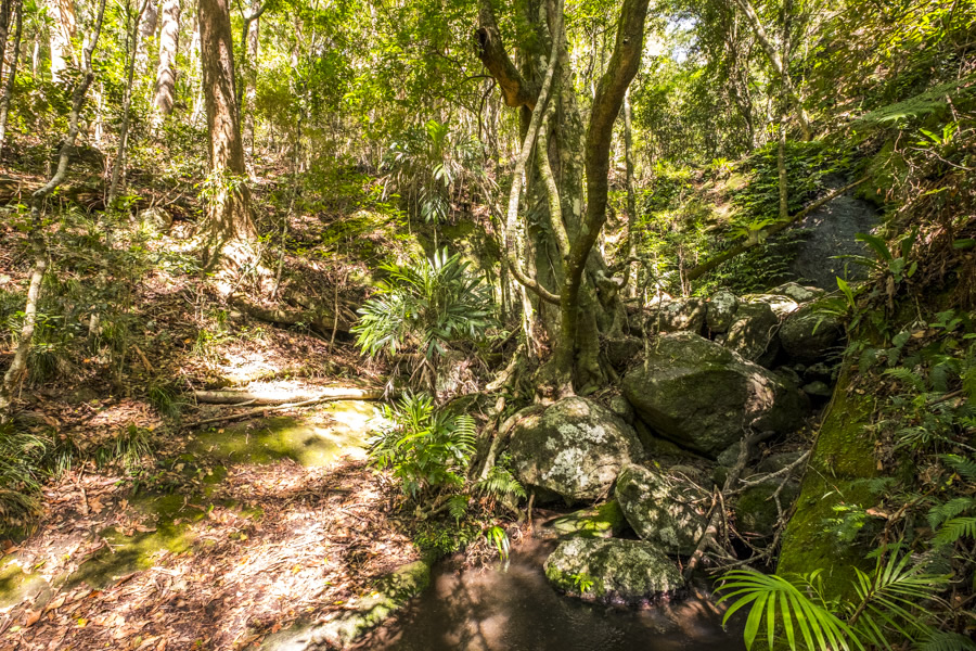
Rifle Bird Creek - the only 'water' I found on the whole walk. And by water I mean green, stinky sludge. The contrast between the green temperate rainforest and the brown forest floor made for a very pretty scene.
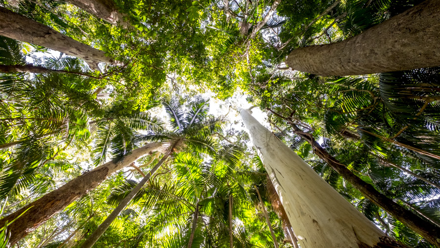
Reaching for the sky - Brush Box, White Mahogany and Piccabeen Palm Trees creating the rainforest canopy.
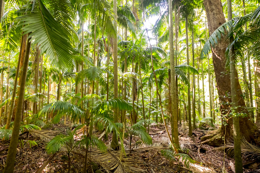
While underneath the canopy the understory is litered with dead palm fronds and layer upon layer of dead leaves. Usually, with enough water, this would be naturally composted and would be super fertile, promoting new growth. But it's super dry and just waiting to go up in flames.
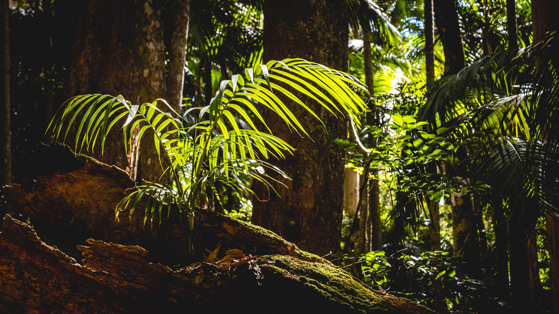
Signs of new life...reaching for the light in hard times.
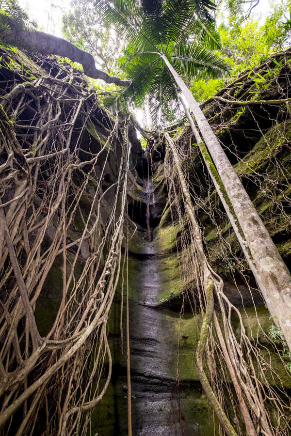
This was a real indicator of how dry it was. This basalt cliff face usually has the freshest water you could imagine leaching from its pores, water that falls on the ground far above and filters through over the years.
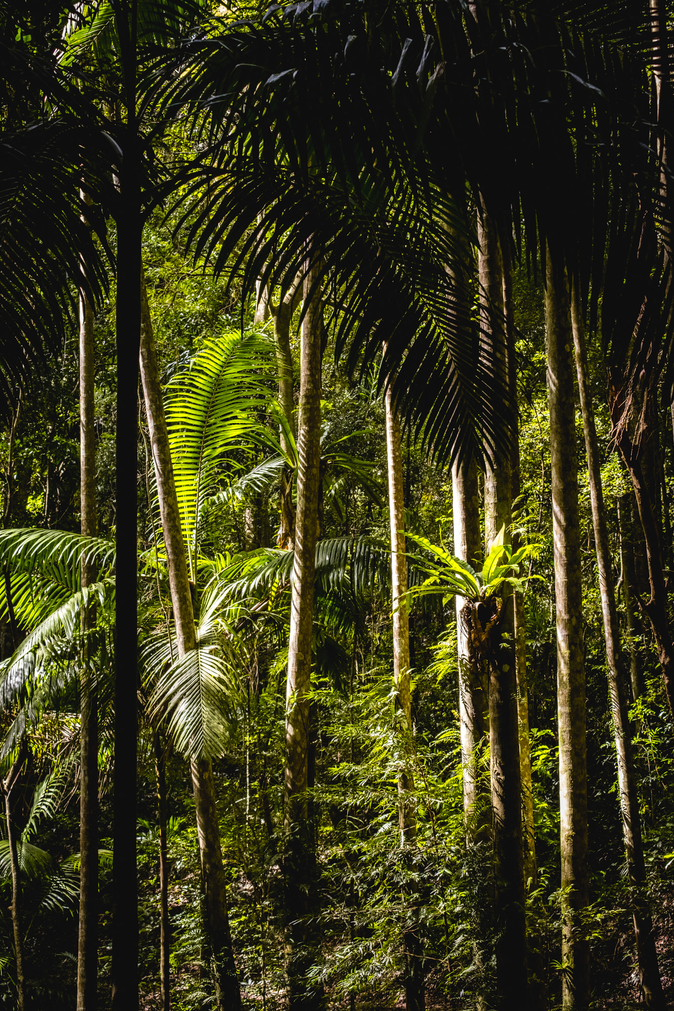
The sub-tropical rainforest and the deepest, darkest point of this walk. Despite the greenery, the ground is litered with tinder dry leaves.
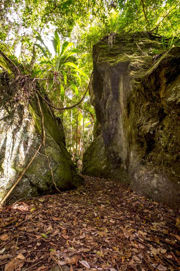
Kong Gong Rock, a boulder that fell from the cliffs high above a long, long time ago, marks the transition from sub-tropical rainforest to eucalypt with patches of temperate rainforest.
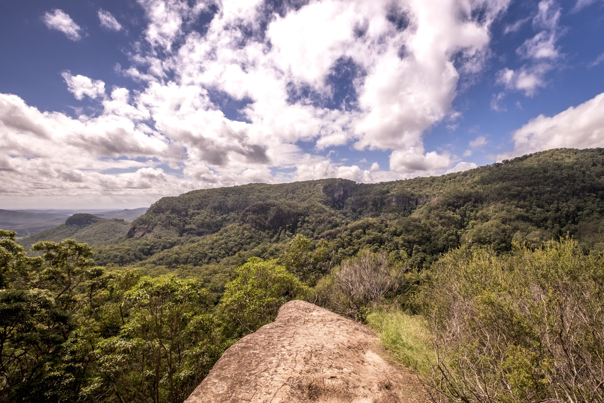
Picnic Rock - Yangahla - out into the sunlight for some lunch and time to scramble through my backpack to find my sunglasses.
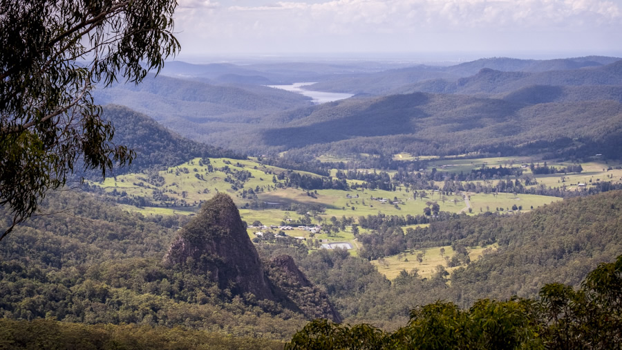
Egg Rock - a scene synonomous with Binna Burra and Lamington National Park. You may have seen this area shrouded in smoke as the fire advanced down the ridgeline and threatened Numinbah Valley.
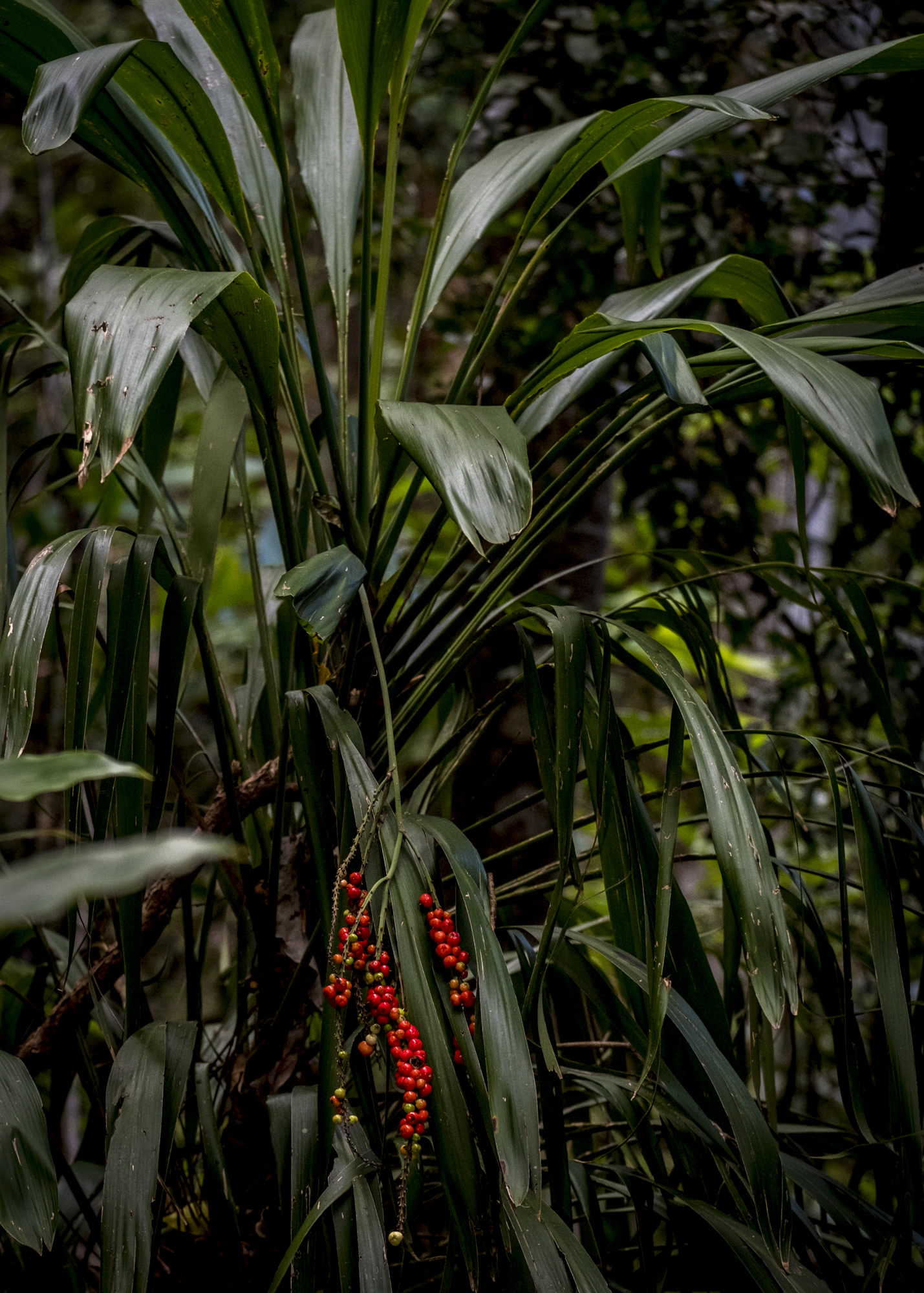
Palm Lillies (from the Cordyline family) marksthe return to a small pocket of rainforest.
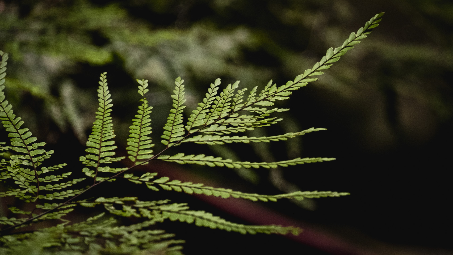
A delicate fern finds a shaft of light.
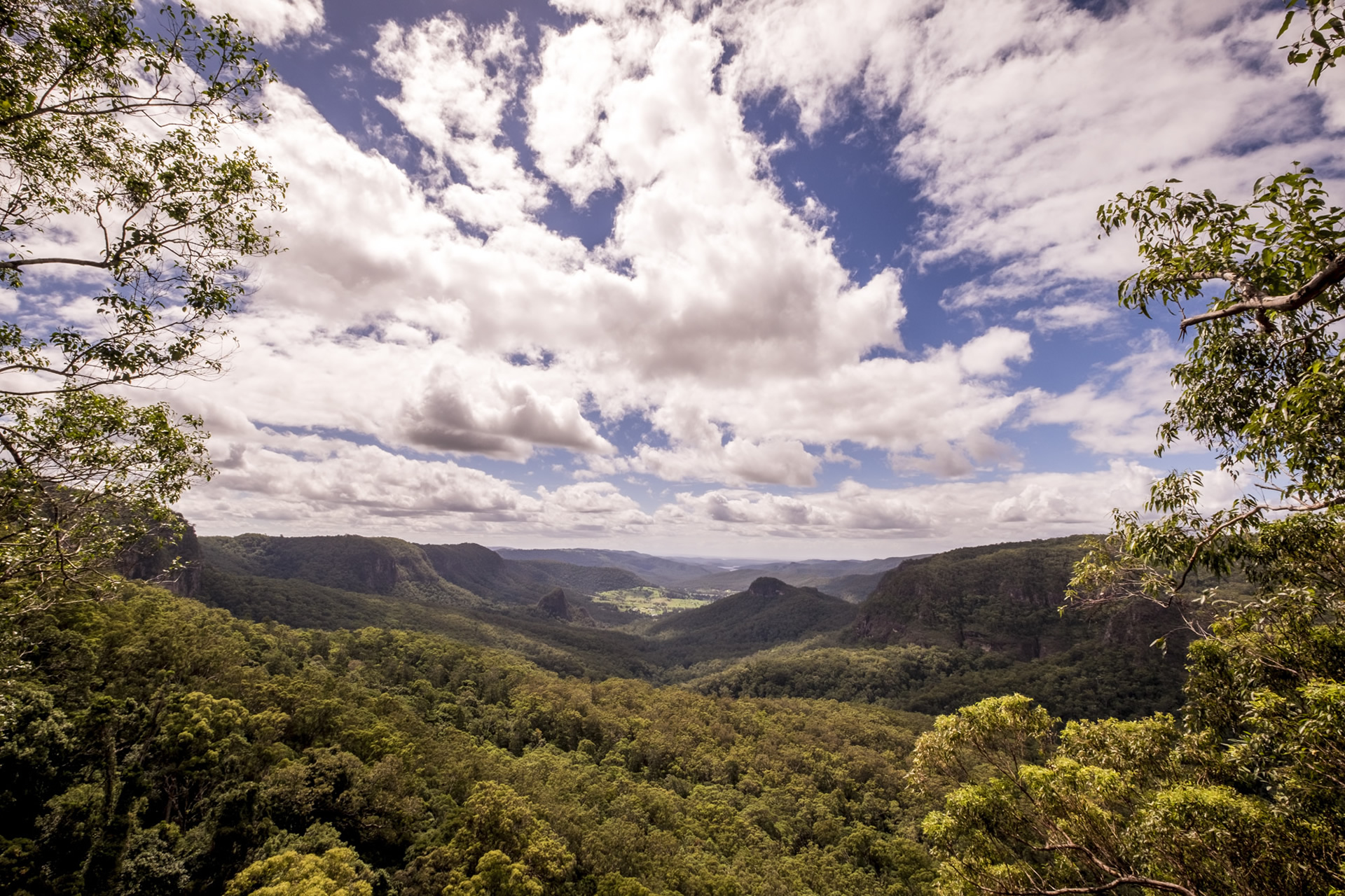
And back out into the sunlight - Koolanbilba lookout.
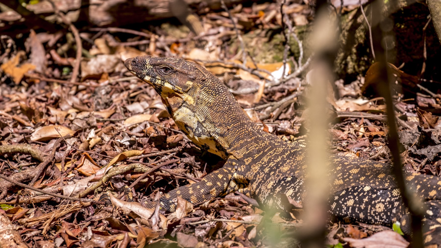
This big guy was there, camoflagued amongst the dead leaves. Being only about 1km from Binna Burra, this end of the trail was busy with day-trippers. No one saw him...selfies were more important.
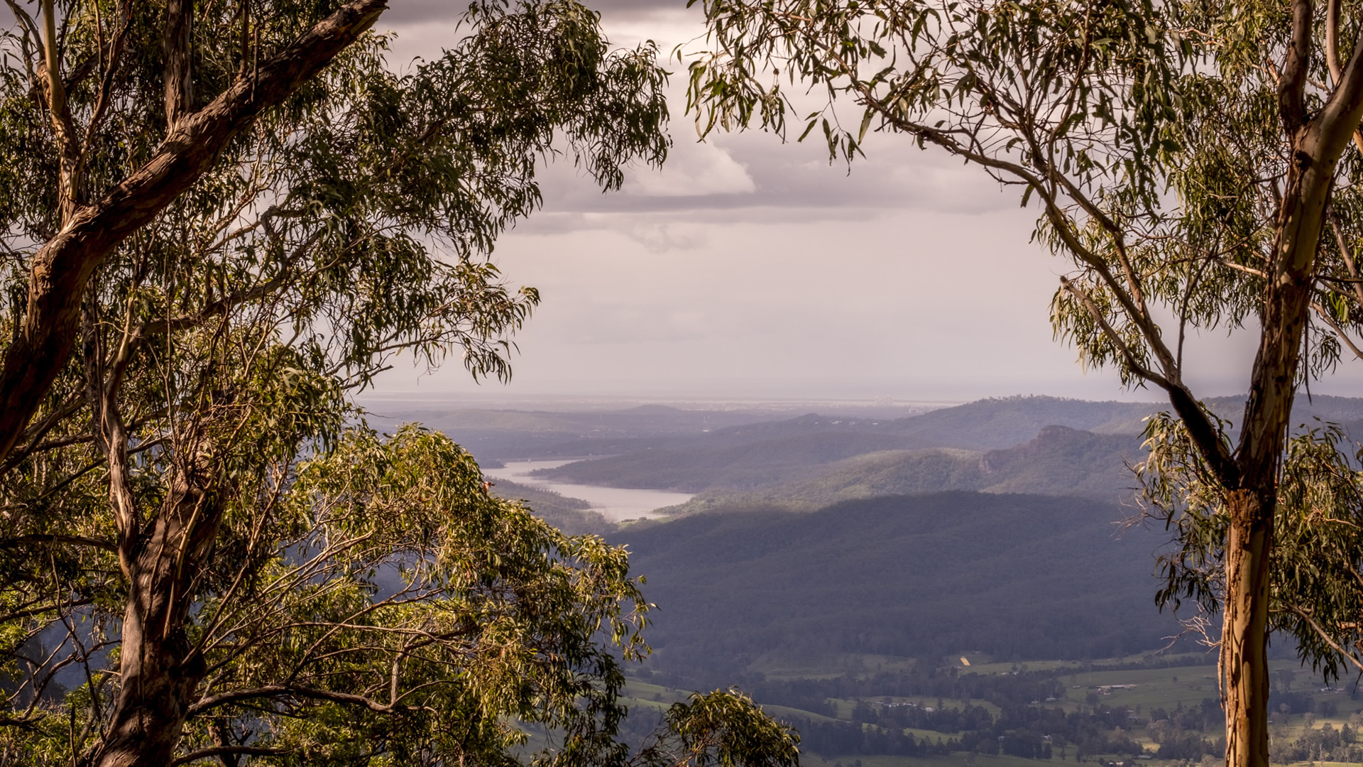
The view at the end - overlooking Numinbah Valley, Hinze Dam and the Gold Coast in the far distance. Aerial footage of this spot, only 200m from Binna Burra Lodge, featured on all new broadcasts totally engulfed in fire.
What will the outcome be from these catastrophic fires? When you factor in the long-term effects of the drought, only time will tell. The last fire, generations ago, was followed by a time of plenty and water was abundant. These are different times...the landscape may be changed forever.

Posted By Nathan
Hi there! I'm Nathan Brayshaw, an adventure travel photographer and writer based on Queensland’s Gold Coast in Australia. I've always had a deep love for nature and a yearning to explore the world, which has led me on thrilling expeditions to remote and exotic destinations.
As a photographer, I'm passionate about capturing the raw beauty of our planet, from breathtaking landscapes to awe-inspiring wildlife, and everything in between. My camera is my constant companion as I journey through dense jungles and summit towering peaks, always in search of the perfect shot that tells a story.
In addition to my photography, I'm also passionate about writing, as it allows me to share my experiences and insights with a wider audience. I believe that through my work, I can encourage others to step out of their comfort zones, explore the unknown, and embrace the thrill of adventure.
With my passion for exploration, my camera in hand, and my heart set on discovering the world's wonders, I'm constantly pushing the boundaries of adventure travel photography and writing. Join me on this incredible journey as we uncover the breathtaking beauty and diverse cultures that our planet has to offer.
Updated : 23rd July 2021 | Words : 870 | Views : 3457


